Applications of the Satellite GNSS Services

MBCD  developed the technological solution  based on Global Navigation Satellite System (GNSS) device with cm precision special dedicated software and AI applications for:

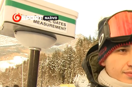
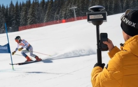
  • Alpine Ski Course Setting Measurement which provides data for in depth analyses including 3D models of race track..
  • Precise location, position of a person / athlete in terrain
  • Concepts and architecture of GNSS application in precision agriculture
  • Comprehensive studies and analyses of GNSS technology deployment in practice


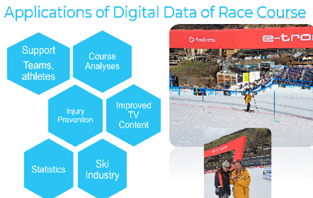
MBCD delivers precise digital measurement of Alpine Ski race courses, capturing the exact three-dimensional position of every gate on the slope. Using high-accuracy GNSS technology with centimetre-level precision, the system provides race directors, coaches and athletes with comprehensive course data immediately after setting — and supplies FIS with a rich dataset for in-depth post-race analyses, including full 3D models of the race track, gate offset and distance statistics, speed profiles and multi-season comparisons.

MBCD applies its expertise in high-precision GNSS measurement to the field of precision agriculture.

MBCD provides a structured framework for deploying satellite navigation technology — GPS, Galileo, GLONASS and BeiDou — across three core areas of modern farming: precise field mapping and soil management, autonomous guidance of agricultural machinery, and targeted application of agrochemicals.

The architecture is built around proven correction technologies — RTK for centimetre accuracy, EGNOS for cost-free decimetric precision across the EU, and global PPP services such as RTX for remote or wide-area operations. Together, these tools enable farms to reduce input costs, increase yields and build the digital data foundation required for tomorrow’s autonomous agriculture.

Comprehensive Studies and Analyses of GNSS Technology Deployment in Practice

MBCD  conducts detailed studies and technical analyses of GNSS systems as deployed in real-world conditions. Drawing on practical field experience across both sport and agriculture, the work covers the full spectrum of available correction services — RTK, EGNOS, RTX and PPP — evaluating their accuracy, reliability and suitability for specific operational environments. The findings provide practitioners, developers and decision-makers with an evidence-based reference for selecting and implementing the right GNSS architecture for their application.